Environmental Technology Blog
 https://www.locustec.com/wp-content/uploads/2023/03/Locus-Mobile2022.jpg
1300
2400
Locus Product Team
https://www.locustec.com/wp-content/uploads/2023/12/locus_logo_2x.png
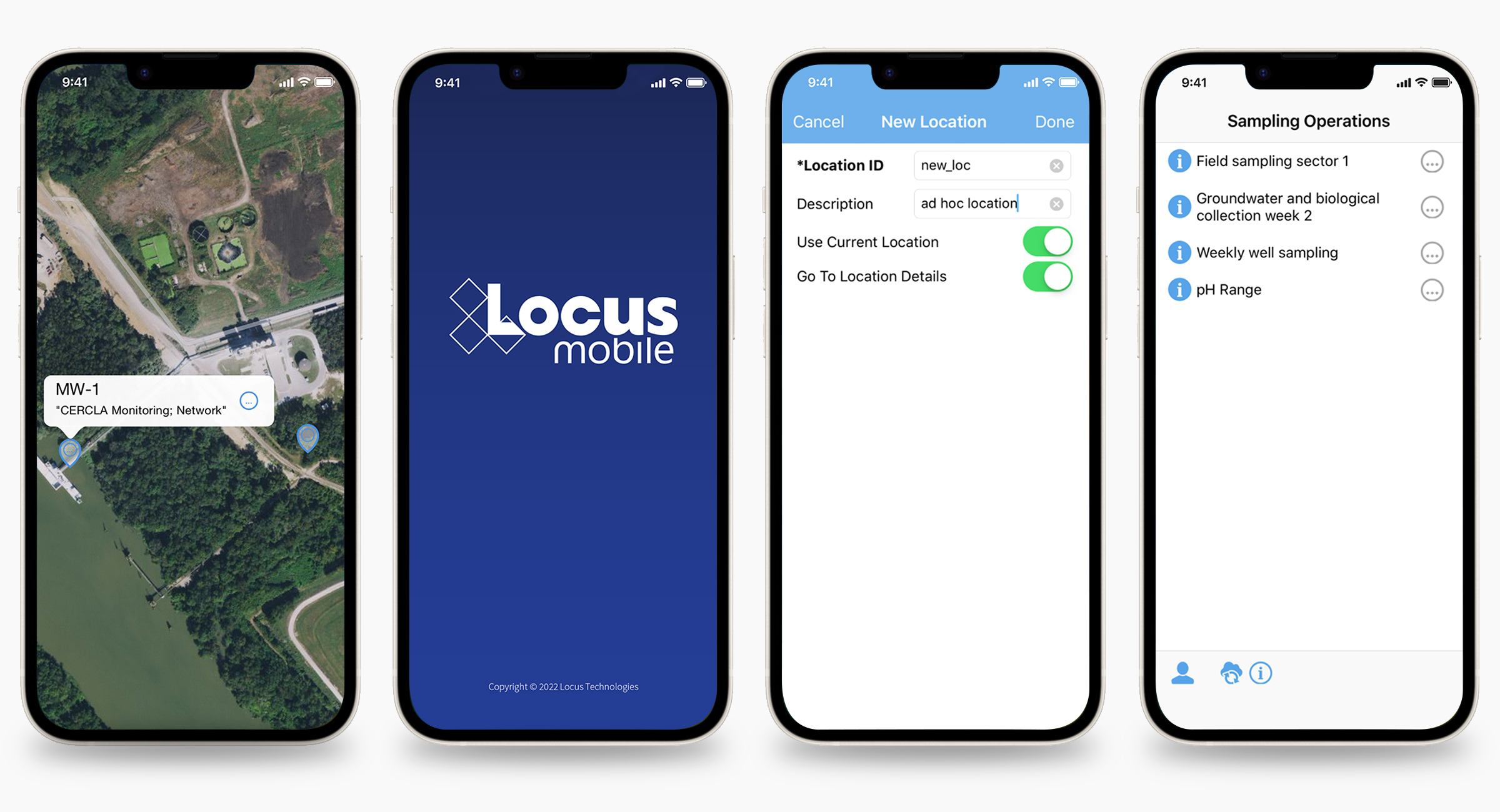
Locus Product Team2023-03-30 12:29:462025-09-16 13:50:246 Must-Haves for Upgraded Mobile Tracking Apps
https://www.locustec.com/wp-content/uploads/2023/03/Locus-Mobile2022.jpg
1300
2400
Locus Product Team
https://www.locustec.com/wp-content/uploads/2023/12/locus_logo_2x.png
Locus Product Team2023-03-21 12:26:342025-03-17 12:37:50Finding the Best Environmental Sampling Tool
https://www.locustec.com/wp-content/uploads/2023/03/Locus-Mobile2022.jpg
1300
2400
Locus Product Team
https://www.locustec.com/wp-content/uploads/2023/12/locus_logo_2x.png
Locus Product Team2023-03-30 12:29:462025-09-16 13:50:246 Must-Haves for Upgraded Mobile Tracking Apps
https://www.locustec.com/wp-content/uploads/2023/03/Locus-Mobile2022.jpg
1300
2400
Locus Product Team
https://www.locustec.com/wp-content/uploads/2023/12/locus_logo_2x.png
Locus Product Team2023-03-21 12:26:342025-03-17 12:37:50Finding the Best Environmental Sampling Tool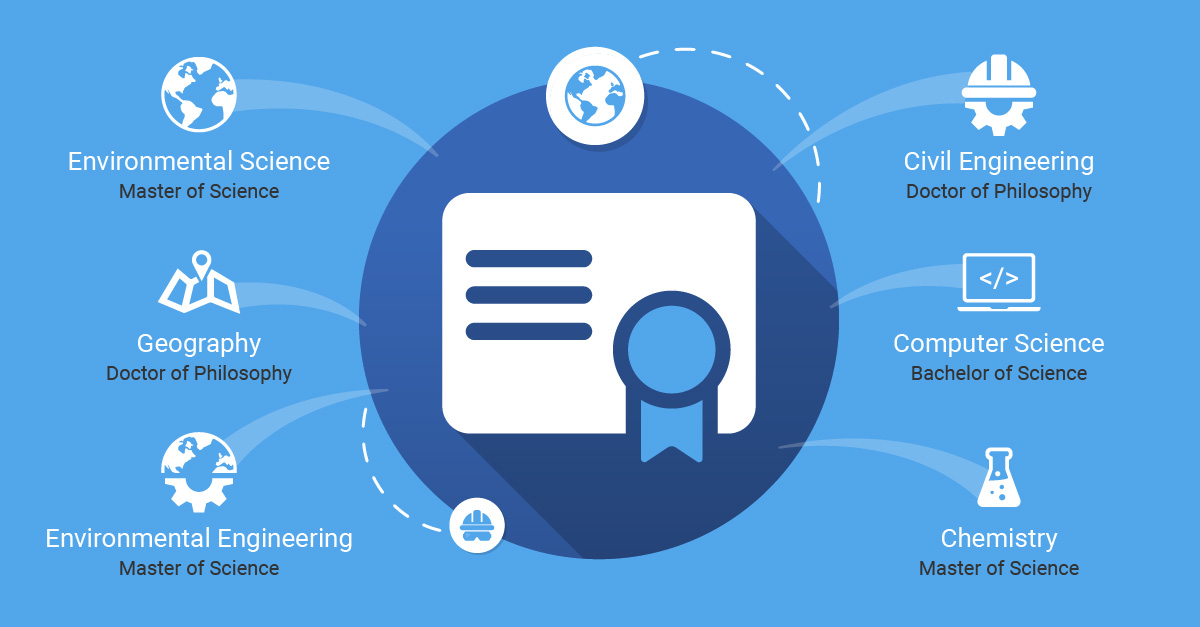 https://www.locustec.com/wp-content/uploads/2020/03/locus_infographic_expertise_cover.jpg
627
1200
Locus Product Team
https://www.locustec.com/wp-content/uploads/2023/12/locus_logo_2x.png
Locus Product Team2023-02-09 12:40:252025-09-17 08:42:02The Expertise Behind the Software
https://www.locustec.com/wp-content/uploads/2020/03/locus_infographic_expertise_cover.jpg
627
1200
Locus Product Team
https://www.locustec.com/wp-content/uploads/2023/12/locus_logo_2x.png
Locus Product Team2023-02-09 12:40:252025-09-17 08:42:02The Expertise Behind the Software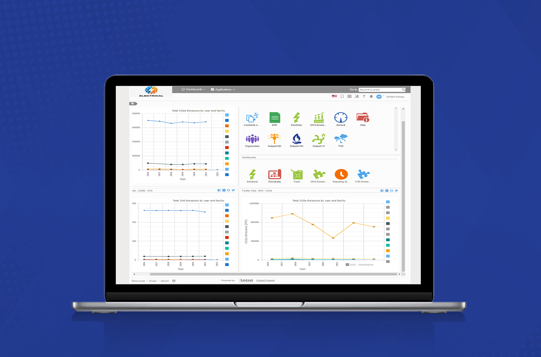 https://www.locustec.com/wp-content/uploads/2023/01/AirQualityLaptop.jpg
1222
1850
Locus Product Team
https://www.locustec.com/wp-content/uploads/2023/12/locus_logo_2x.png
Locus Product Team2023-01-17 12:57:012025-09-16 13:55:17Shed Light On Your Air and GHG Calculations
https://www.locustec.com/wp-content/uploads/2023/01/AirQualityLaptop.jpg
1222
1850
Locus Product Team
https://www.locustec.com/wp-content/uploads/2023/12/locus_logo_2x.png
Locus Product Team2023-01-17 12:57:012025-09-16 13:55:17Shed Light On Your Air and GHG Calculations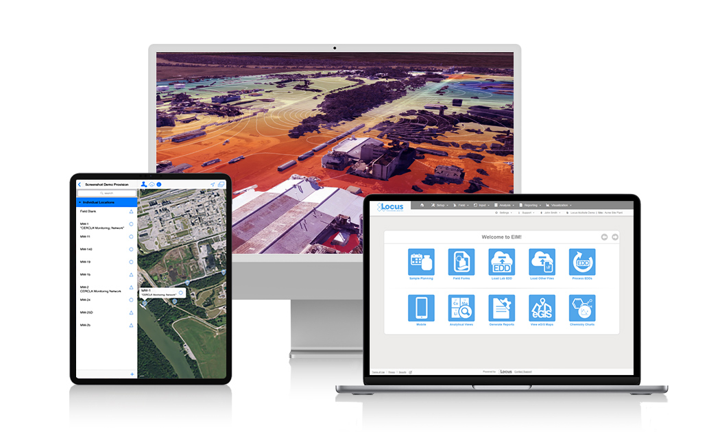 https://www.locustec.com/wp-content/uploads/2023/01/Why-Locus-2.jpg
630
1050
Locus Product Team
https://www.locustec.com/wp-content/uploads/2023/12/locus_logo_2x.png
Locus Product Team2023-01-12 13:41:232025-03-17 12:37:51Locus Innovations in 2022
https://www.locustec.com/wp-content/uploads/2023/01/Why-Locus-2.jpg
630
1050
Locus Product Team
https://www.locustec.com/wp-content/uploads/2023/12/locus_logo_2x.png
Locus Product Team2023-01-12 13:41:232025-03-17 12:37:51Locus Innovations in 2022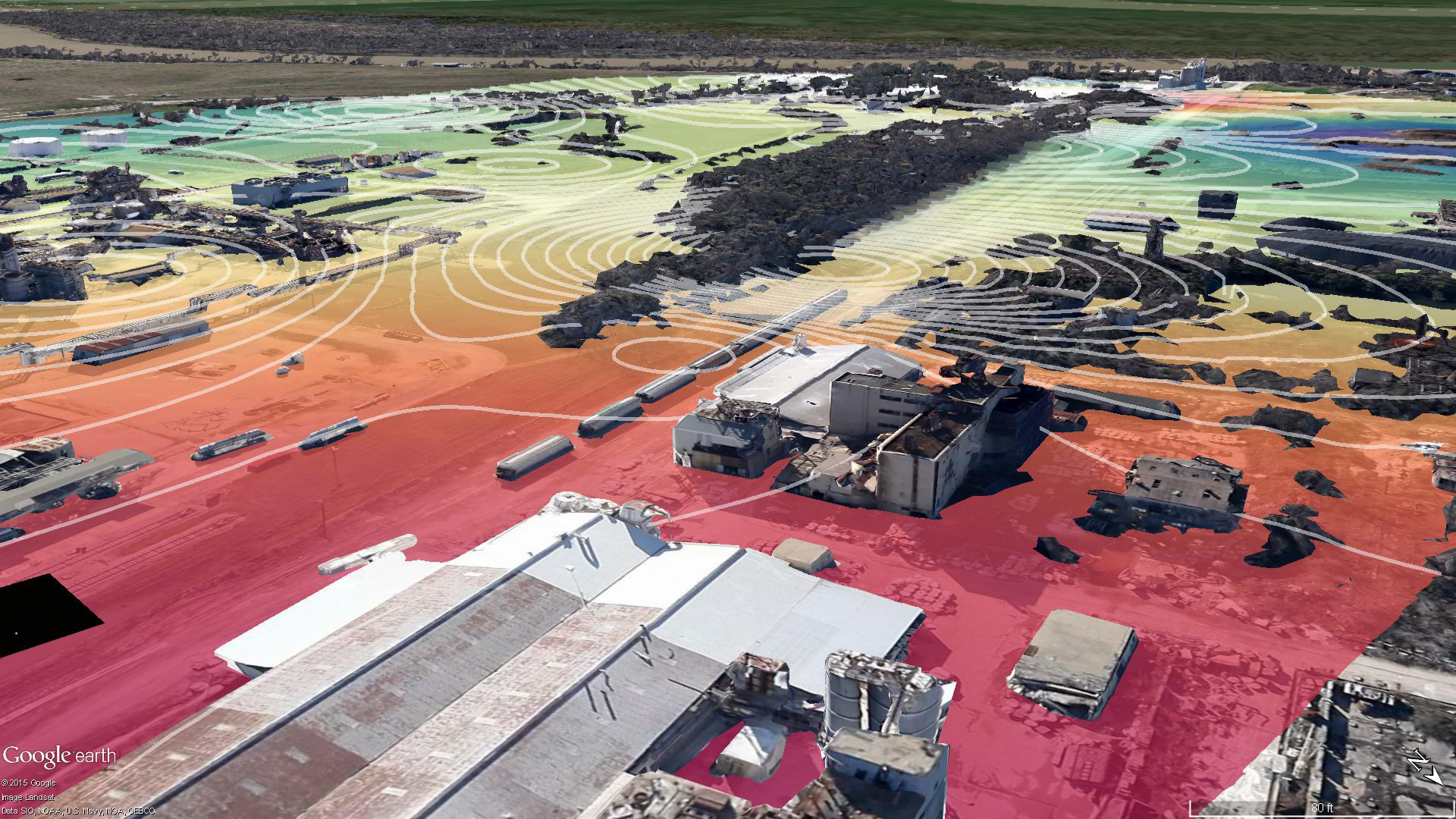 https://www.locustec.com/wp-content/uploads/2016/01/Google-Earth-visualization-with-contour-module-output-1080p.png
1080
1920
Dr. Todd Pierce
https://www.locustec.com/wp-content/uploads/2023/12/locus_logo_2x.png
Dr. Todd Pierce2022-11-16 07:32:402026-03-05 11:51:19Getting More from your Environmental Data using Dashboards with Integrated Mapping
https://www.locustec.com/wp-content/uploads/2016/01/Google-Earth-visualization-with-contour-module-output-1080p.png
1080
1920
Dr. Todd Pierce
https://www.locustec.com/wp-content/uploads/2023/12/locus_logo_2x.png
Dr. Todd Pierce2022-11-16 07:32:402026-03-05 11:51:19Getting More from your Environmental Data using Dashboards with Integrated Mapping https://www.locustec.com/wp-content/uploads/2021/06/locus_background_safety-tech-workers.jpeg
1125
2000
Locus Product Team
https://www.locustec.com/wp-content/uploads/2023/12/locus_logo_2x.png
Locus Product Team2022-10-21 05:50:162025-03-17 12:37:51A More Robust EHS Software Solution
https://www.locustec.com/wp-content/uploads/2021/06/locus_background_safety-tech-workers.jpeg
1125
2000
Locus Product Team
https://www.locustec.com/wp-content/uploads/2023/12/locus_logo_2x.png
Locus Product Team2022-10-21 05:50:162025-03-17 12:37:51A More Robust EHS Software Solution https://www.locustec.com/wp-content/uploads/2022/02/25Anniversary.jpg
419
390
Locus Product Team
https://www.locustec.com/wp-content/uploads/2023/12/locus_logo_2x.png
Locus Product Team2022-09-02 08:21:582025-03-17 12:37:51Locus at 25 Years: A Long-Term Vision for Environmental Stewardship
https://www.locustec.com/wp-content/uploads/2022/02/25Anniversary.jpg
419
390
Locus Product Team
https://www.locustec.com/wp-content/uploads/2023/12/locus_logo_2x.png
Locus Product Team2022-09-02 08:21:582025-03-17 12:37:51Locus at 25 Years: A Long-Term Vision for Environmental Stewardship