


01 // Mobile & Field Access

Mobile EHS software for field data collection and compliance

Locus works everywhere you do.

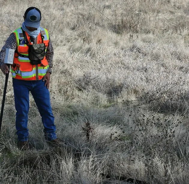
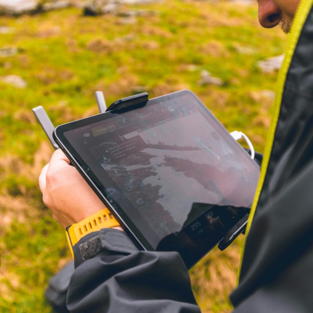
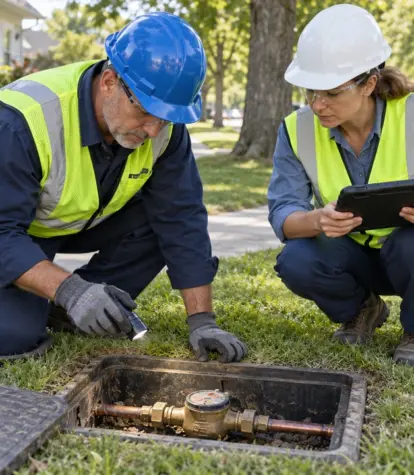
Locus Mobile extends the full power of Locus Platform to any smartphone or tablet, online or offline. Field teams collect inspection data, environmental samples, safety observations, and compliance readings using the same apps and data objects they use at the office. Every entry syncs automatically when connectivity is restored, flowing directly into your validated system of record without transcription or re-entry.

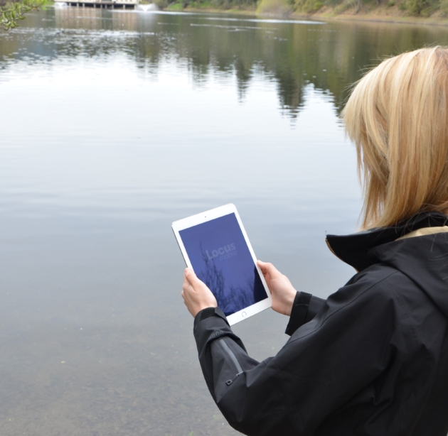
Field team EHS working with tablet

Field data that goes
straight to the record

02 // Locus Mobile

  • Online & Offline Access

    Keep working across remote sites, underground infrastructure, and large facilities where connectivity may be limited. Forms and assigned data remain available wherever the fieldwork takes place.

  • Automated Data Sync

    Completed records move directly into Locus software when connectivity is available or restored. No one needs to re-enter information, map fields, or manage a separate upload process.

  • Validated at Collection

    Required fields, configured values, and conditional logic guide users toward complete, consistent entries in the field. After syncing, records pass through the same platform validation rules applied to other incoming data sources.

03 // Benefits

Give field teams the freedom to work accurately anywhere

  • Works online and offline, syncing when connectivity returns
  • Same apps and data model as the desktop experience
  • Data validated at collection, not after manual re-entry
  • Configurable forms for inspections, sampling, and incidents
  • Photo, GPS, and signature capture built into every form
  • Field users see only the apps and sites relevant to their work
  • Eliminates paper forms and the transcription errors they create
  • iOS and Android compatible on any smartphone or tablet

What Locus Mobile can do for you

04 // Key Capabilities

Offline-First Data Collection

Field teams often work where cellular coverage is unreliable: remote monitoring wells, underground utilities, large industrial facilities, and rural remediation sites. Locus Mobile is built for these conditions. Once forms are loaded, data entry works in full without a connection, and collected records queue locally for sync. When connectivity returns, data is uploaded with no lost records.

Data Quality & Validation

Configurable Field Forms

Every Locus app in the mobile environment uses the same no-code form configuration tools available on the desktop. Your power users define fields, required entries, dropdown values, and conditional logic. A waste inspector's form looks and behaves differently from a stormwater technician's form, and both are built by your team without developer involvement. Form updates deploy across all mobile users as they are downloaded to the device.

Configuration Workbench

Photo, GPS, and Signature Capture

Locus Mobile captures supplementary evidence at the point of observation. Field technicians attach photos directly to inspection records, equipment readings, or incident reports. GPS coordinates are captured automatically with each entry, providing spatial context without manual coordinate entry. Digital signatures confirm chain-of-custody acknowledgment and field supervisor sign-off, all linked to the underlying compliance record.

GIS & Spatial Intelligence

Real-Time Sync and Data Validation

When a field entry syncs to Locus Platform, it passes through the same automated validation rules that apply to lab imports and API data. Unit conversions happen automatically. Values outside the configured thresholds trigger alerts to the responsible team member. Data that fails validation is flagged for review before it enters the system of record. Your field data is as defensible as your laboratory data.

Data Quality & Validation

Sampling and Chain of Custody

Environmental field programs depend on precise sample documentation. Locus Mobile supports field sample logging, chain-of-custody documentation, and container tracking within the same interface field technicians use for other data collection tasks. Samples logged in the field link directly to the laboratory EDD import workflow, maintaining continuity from collection through analytical result through regulatory submittal.

Sampling & Laboratory Data Management

Role-Based Field Access

Not every field user needs access to every module, every site, or every data type. Locus Platform's role-based access controls extend fully to the mobile environment. Field technicians see the apps, forms, and site data relevant to their assignment. Supervisors see broader site views. Administrators control access without IT involvement. Sensitive data including permit conditions, analytical thresholds, and historical violation records remains protected throughout.

Security & Data Governance

Consistent UX Across Desktop and Mobile

Field users who also work in the office do not need to learn two systems. Locus Mobile shares the same UX elements, navigation logic, and data structures as the desktop platform. A user who creates an inspection template on the desktop can complete that same inspection on a tablet. Data flows between the two without format conversion, field mapping, or middleware. Locus Platform follows your team.

05 // Feature Highlights

Field-ready tools for collection, validation, and control

  1. Offline data collection
  2. iOS and Android support on smartphones and tablets
  3. Configurable forms built with no-code tools
  4. GPS coordinates captured with every field entry
  5. Photo and document attachments on any record
  6. Digital signature and chain-of-custody confirmation
  7. Role-based access matching desktop permission structure
  8. Auto data validation at point of sync

06 // Software Demonstration

See Locus Mobile working in the field.

Schedule a live demo and watch field data flow from collection to compliance record in real time.
Schedule a Demo

Frequently Asked Questions

07 // FAQ

Yes. Once forms are downloaded to the device, Locus Mobile has full functionality. Field teams can open forms, enter data, capture photos, record GPS coordinates, and complete inspections without any cellular or WiFi connection. All data is stored locally on the device and synced to Locus Platform when connectivity is restored. No data is lost and no manual re-upload is required.

Locus Mobile runs on iOS and Android devices (smartphones and tablets) and is accessible through the device's native browser without requiring a dedicated app download. This means organizations can deploy Locus Mobile to field teams without managing app store approvals, corporate device enrollment programs, or version control across device types.

When a field entry syncs to Locus Platform, it passes through the same validation rules applied to laboratory imports and API data. Configurable rules check for out-of-range values, missing required fields, and unit inconsistencies. Data that fails validation is flagged for review before it is accepted into the system of record, ensuring field data meets the same quality standard as all other data sources

Yes. Role-permissioned field users can access historical records, prior inspection results, site-specific permit conditions, and sampling location data through the mobile interface. This gives field technicians the context they need to assess current conditions against historical baselines, without requiring a call to the office or a printed site file.

Locus Mobile includes sample logging, chain-of-custody tracking, and container documentation as part of the field data collection workflow. Samples recorded in the field are linked to laboratory EDD import records when analytical results arrive, maintaining full traceability from field collection through laboratory analysis through regulatory submittal. Digital signatures confirm custody transfer at each stage.

Yes. GPS coordinates captured in the field populate the same spatial data model used by Locus's GIS and mapping tools on the desktop. Sample locations, inspection points, and incident coordinates logged in the field appear on site maps alongside historical data, contour layers, and permit boundaries. Field-collected spatial data is immediately available for GIS analysis without any coordinate format conversion.