



Native GIS and GIS+ Mapping
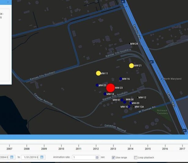
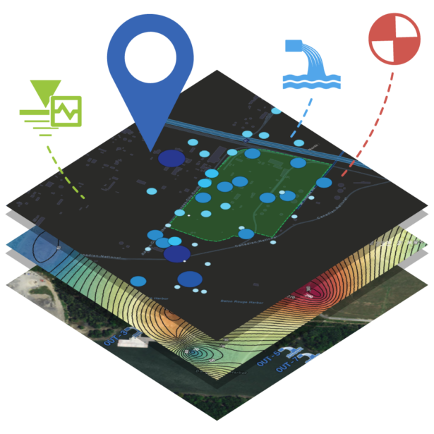
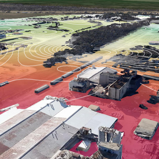
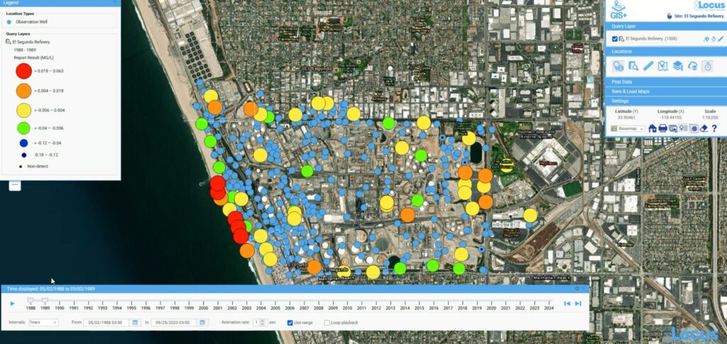
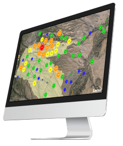
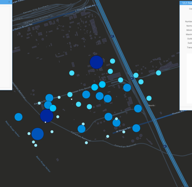
Locus customers choose between two levels of embedded GIS. The standard option uses a Google Maps base to display sampling locations, assets, incidents, and facility boundaries directly within Locus software. The premium Locus GIS+ includes built-in tools and public-domain maps for professional-grade spatial analysis, with no ArcGIS Online or Portal subscription required. For organizations that do use ArcGIS Online or Portal, their existing maps are available once they sign into their AGOL or Portal account within GIS+, eliminating the need for complex data exports and imports between systems.
Explore Data Connectivity & Integrations